Enjoy another side of Bath
Escape and connect to the seasons at our estate on the Bath skyline. Home to American stories, decorative arts, folk art and textiles, special exhibitions, acres of wildlife-friendly gardens and exciting events. Feel alive with nature and art, and relax at the American Garden Deli with its scenic valley terrace.
Plan your visit


Discover the wonders of space at this fantastic new family exhibition


Museum & collections

"I love this place"
— Visitor review 2024 –
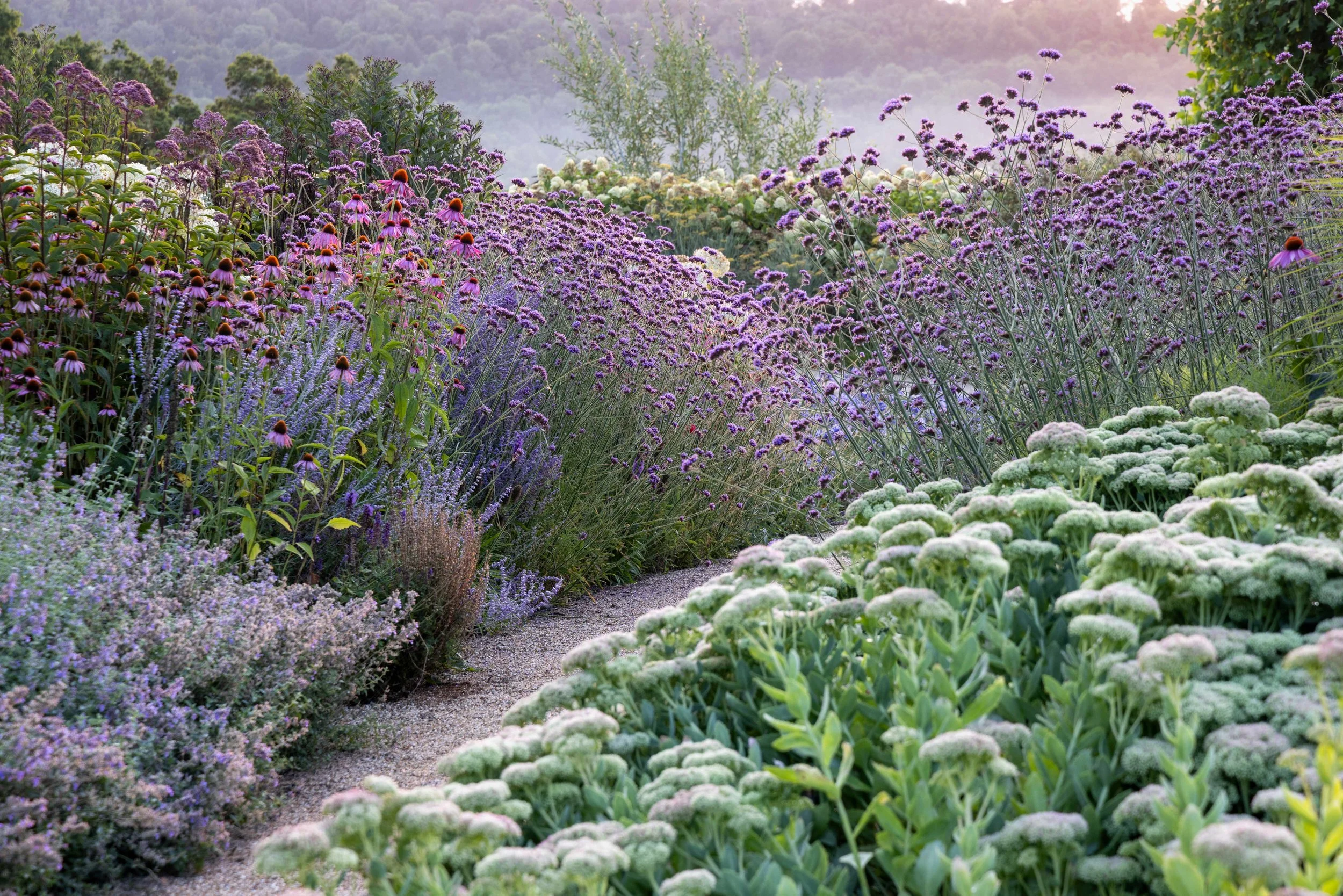
Gardens & estate

The American Garden Deli is our stylish eatery, with a menu of deli favourites and a beautiful garden terrace

Look no further for a stunning venue for all kinds of personal or business events in Bath

Become a member and find all the ways to get involved with the American Museum & Gardens
Your Bath wedding

Our community


