


 Buy Tickets
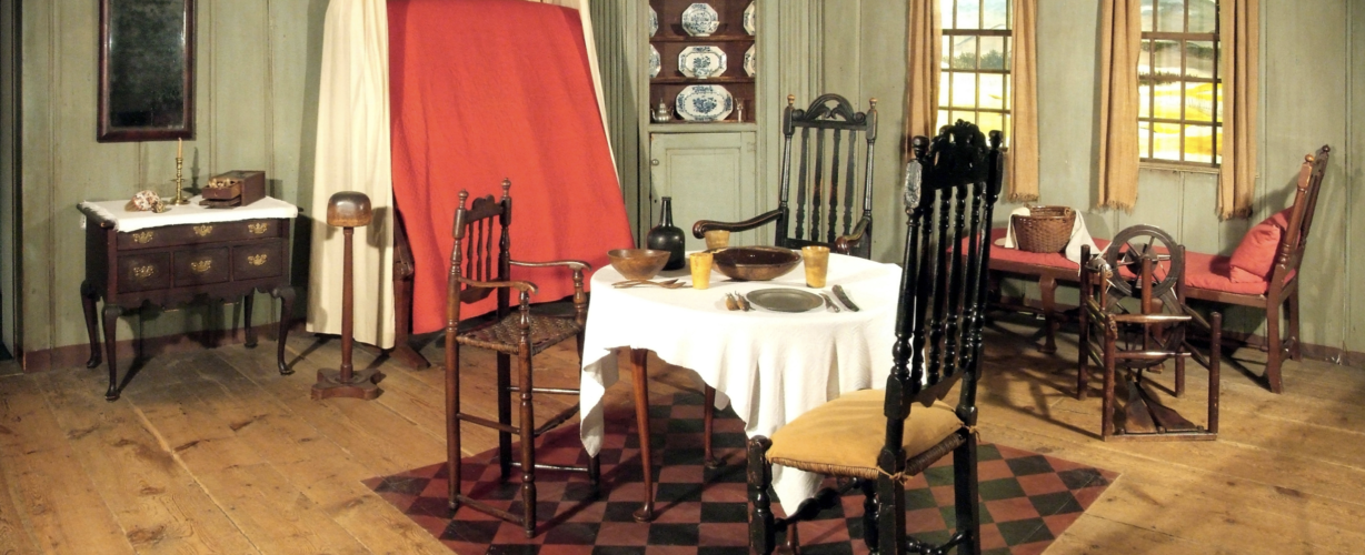
The American Museum houses over 12,000 objects which showcase the finest examples of American decorative arts along with quilts and American folk art which are recognised as some of the most significant in Europe and the equal of many premier collections in the United States. The Museum is also home to Dallas Pratt’s map collection, one of the great collections of Renaissance maps in the world.
The founders of the Museum, Dallas Pratt and John Judkyn, went on a whirlwind collecting spree in the late 1950s and gathered much of what is on display in the Museum.
Today the collections are accessible to visitors through displays in the Museum’s permanent galleries, during temporary exhibitions, and on loan to other institutions around the world. We also acquire new objects to the collections to represent both current day and historical periods. For more information about donating an object to the collection, please click here.
Through these objects we tell stories that span 2000 years of American history. We acknowledge that there are many stories yet to be told and diverse voices yet to be heard. We are in the process of and will continue to make necessary updates to our displays and galleries to ensure a broader narrative.
 Back to top